Original title: Learn about HERE HD Live Maps and its working principle.
[
According to foreign media reports, map technology has become an indispensable and important technology for self-driving vehicles. It is said that the high-precision real-time map (HD Live Map) provided by HERE has become a leader in this kind of system.
Introduction to HD Live Map
HD Live Map was introduced in early 2016 to show extremely detailed dynamic road conditions, so that the autonomous vehicle system can "see" the surrounding environment of the vehicle.
In February of this year, HERE announced that it would deploy this technology to a new generation of Mercedes-Benz self-driving vehicles, and its version is less complicated. At present, it has been deployed to the current Mercedes-Benz model and the upcoming A-class car.
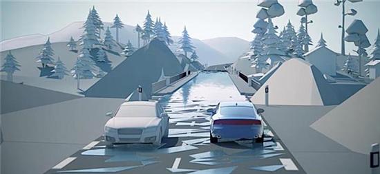
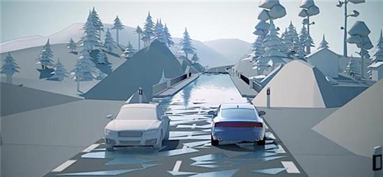
HD Live Maps can store all the data collected by on-board sensors and retrieve them when needed. The map application upgrades the stored data and sends real-time map data to vehicles that need the data. It uses on-board sensors to see if HD Live Maps can distinguish lane divider.
The most important part of the system is the cloud, because all technologies are stored there, and the on-board systems of all vehicles also read data from there. Cloud platform makes the accuracy of regional map reach centimeter level, and when new information needs to be transmitted to vehicles, the map can be updated immediately.
All vehicles equipped with this system can realize workshop communication and share information, and inform each other of information changes in traffic and road signs.
principle of operation
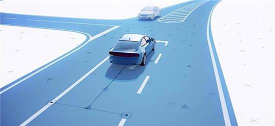
HD Maps provides assistance for vehicles to understand the outside world (the surrounding environment of vehicles). According to the statement of HERE, the lane level accuracy has reached centimeter level, and the real-time information of the relevant road network along the established route can be sent to the vehicle.
For self-driving vehicles, this means that the path planning has been improved, far exceeding the amount that its on-board sensors can achieve. Usually, the on-board sensor can scan the surrounding environment within a radius of 100 meters. For a moving vehicle with a speed of 80 km/h, this is equivalent to a detection and response time of only 3 seconds.
This is why HERE HD Maps relies heavily on vehicle data sharing. The company said that if the vehicle sensor detects the speed limit sign and the speed limit is inconsistent with the data marked on the current map, the map will be updated accordingly. Then when other vehicles approach the same place, they can get the new information after rectification.
Besides users’ vehicles, the system can also extract data from other vehicles, road network sensors, motorcades and probes.
The information extracted from other vehicles can also be used in Predictive Powertrain Control, Curve Lighting, Beam Height Control, Road Sign Recognition, In-vehicle systems such as Intelligent Speed Assistance and Departure Warning can be used, which can be used for conventional vehicles and self-driving vehicles.
look into the future
HERE said that the company is cooperating with 10 car companies to test the application of HD Live Maps in self-driving vehicles. The company also cooperates with Mercedes-,and to promote the configuration of driver assistance systems for conventional driving vehicles.
]